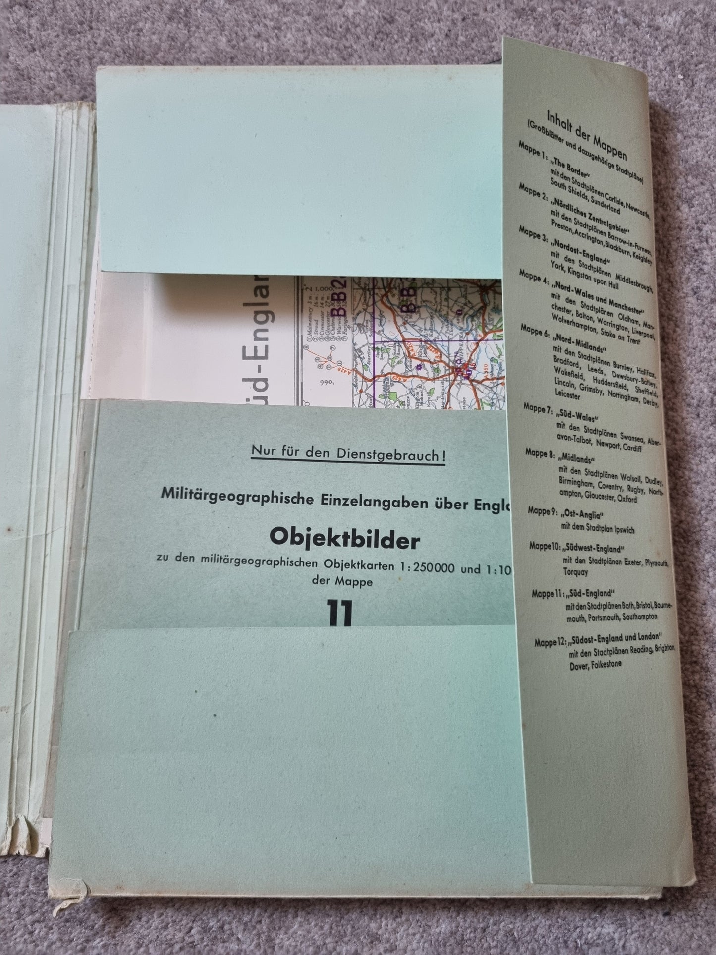
WW2 Operation Sealion German Invasion Map Folder & Objektbilder for South England
Fascinating set originally produced by the German army in preparation for an invasion of the UK focusing on infrastructure targets in the south of England - then became targets for attack/damage rather than invasion - this edition date 1941 (as these documents were revised as the war progressed and Germany did not fully abandon invasion planning until 1942).