1
/
of
18
SOLD! Unique WW1 German Trench Map with Hand Drawn Detail Surrounding Verdun, 5 Mar 1916
SOLD! Unique WW1 German Trench Map with Hand Drawn Detail Surrounding Verdun, 5 Mar 1916
Regular price
£0.00 GBP
Regular price
Sale price
£0.00 GBP
Unit price
/
per
Shipping calculated at checkout.
Couldn't load pickup availability
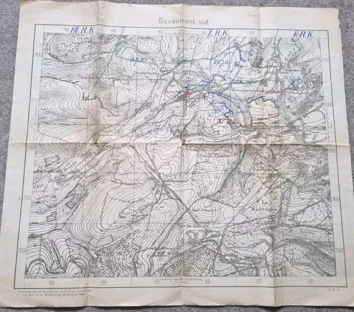
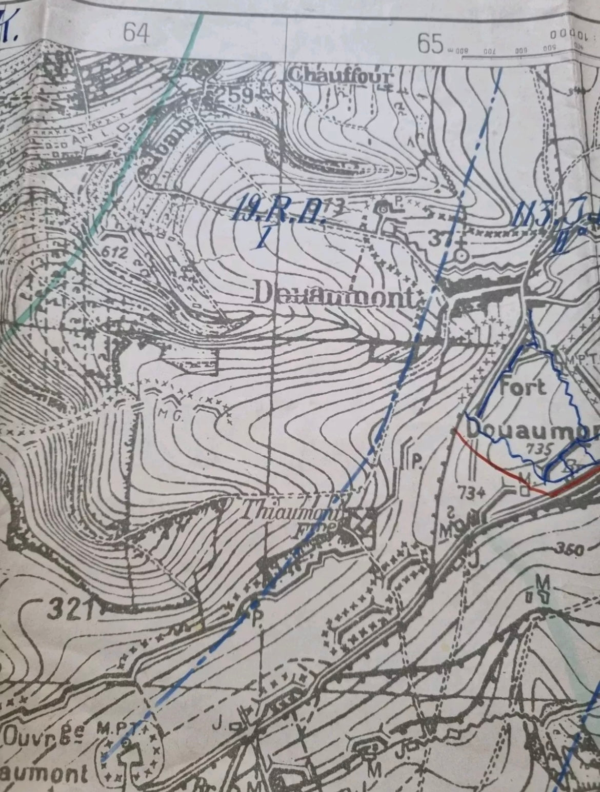
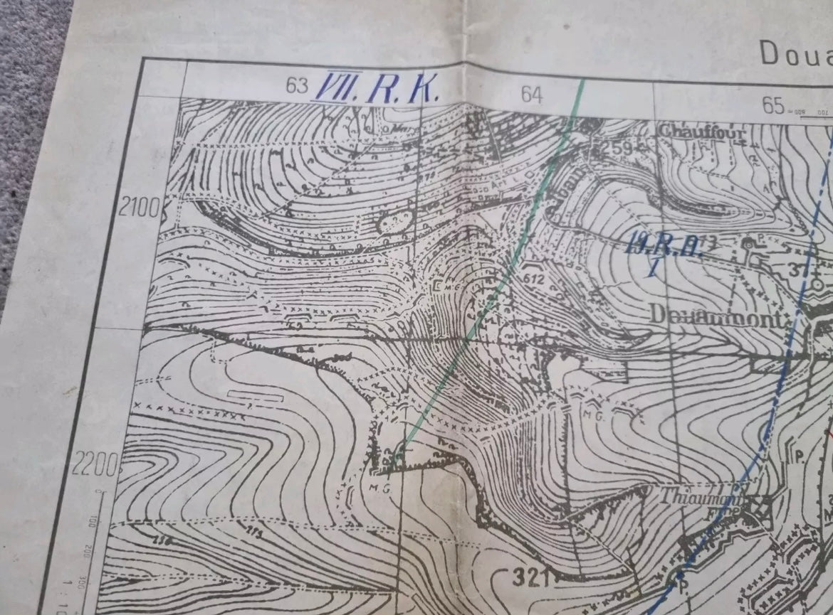
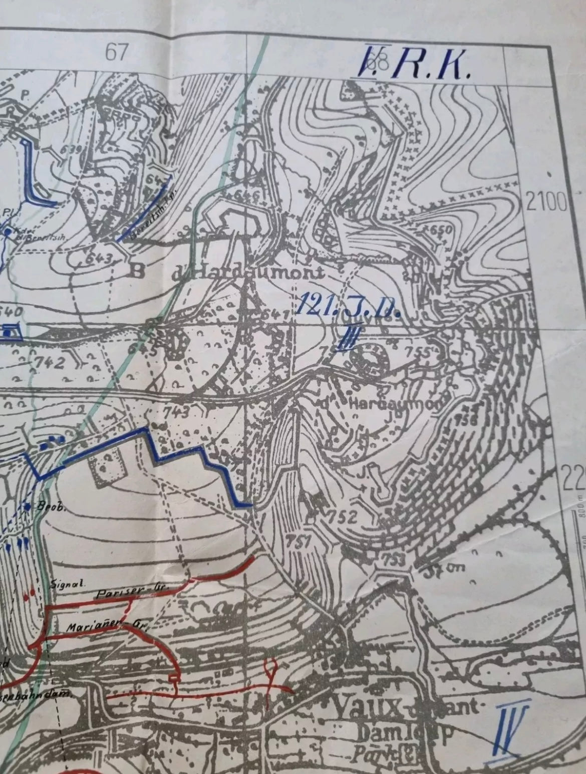
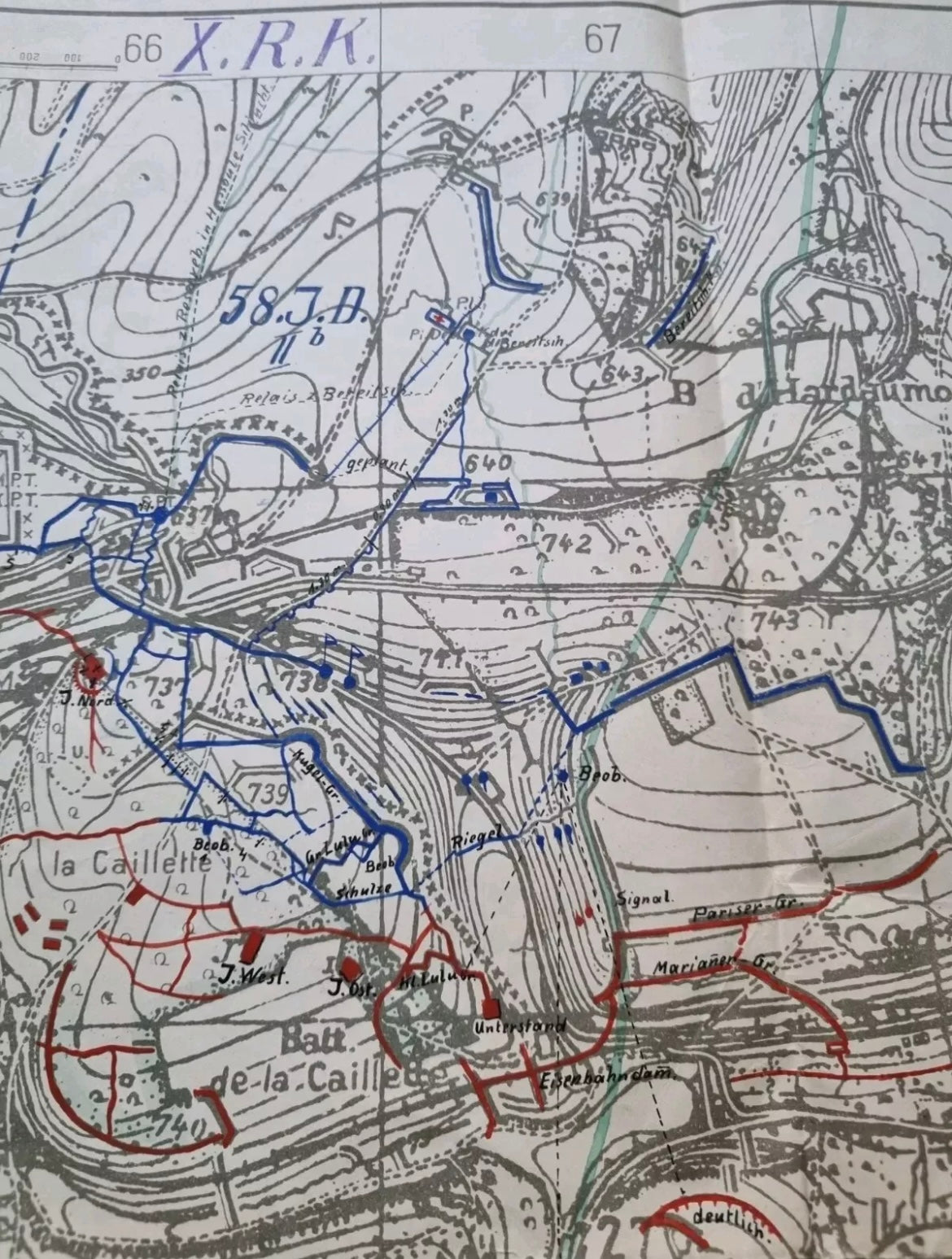
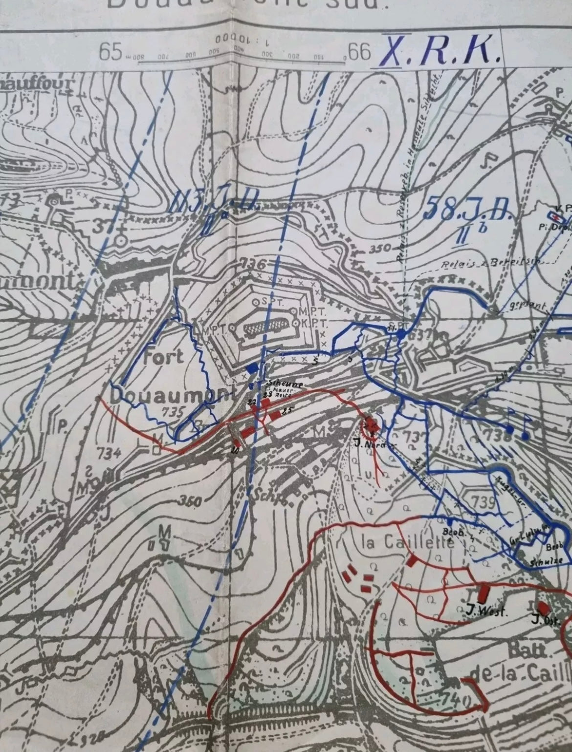
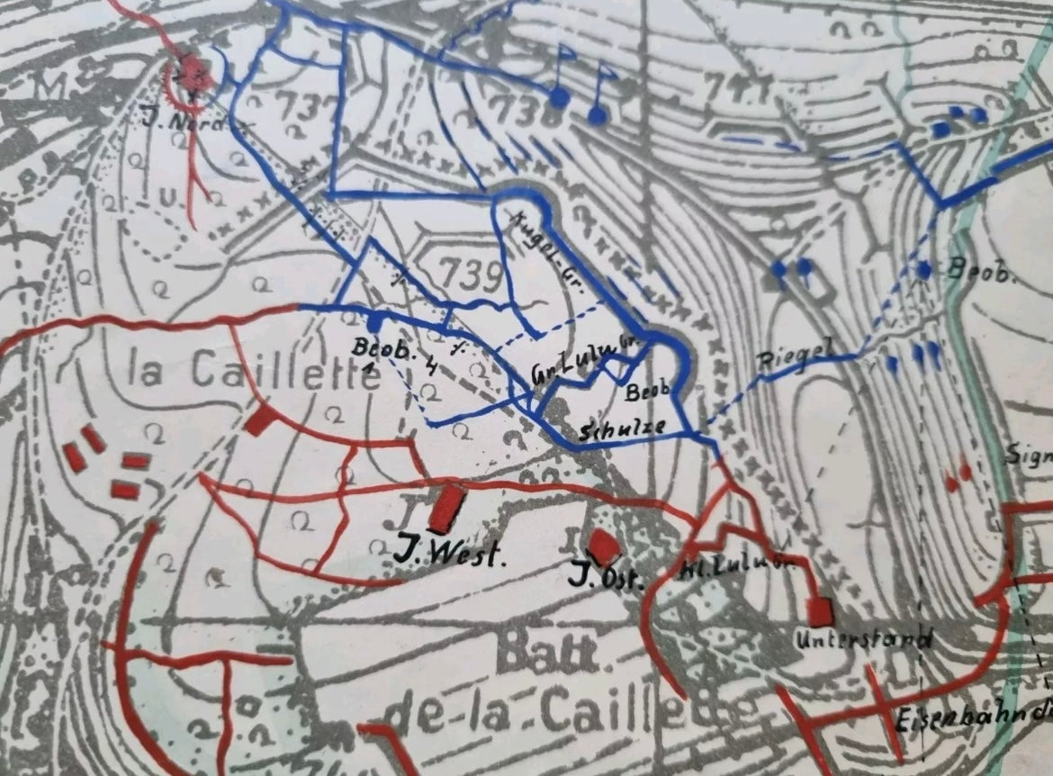
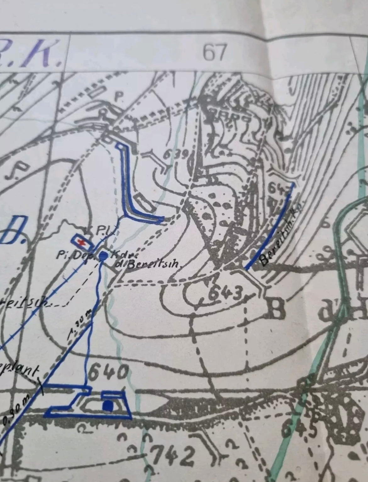
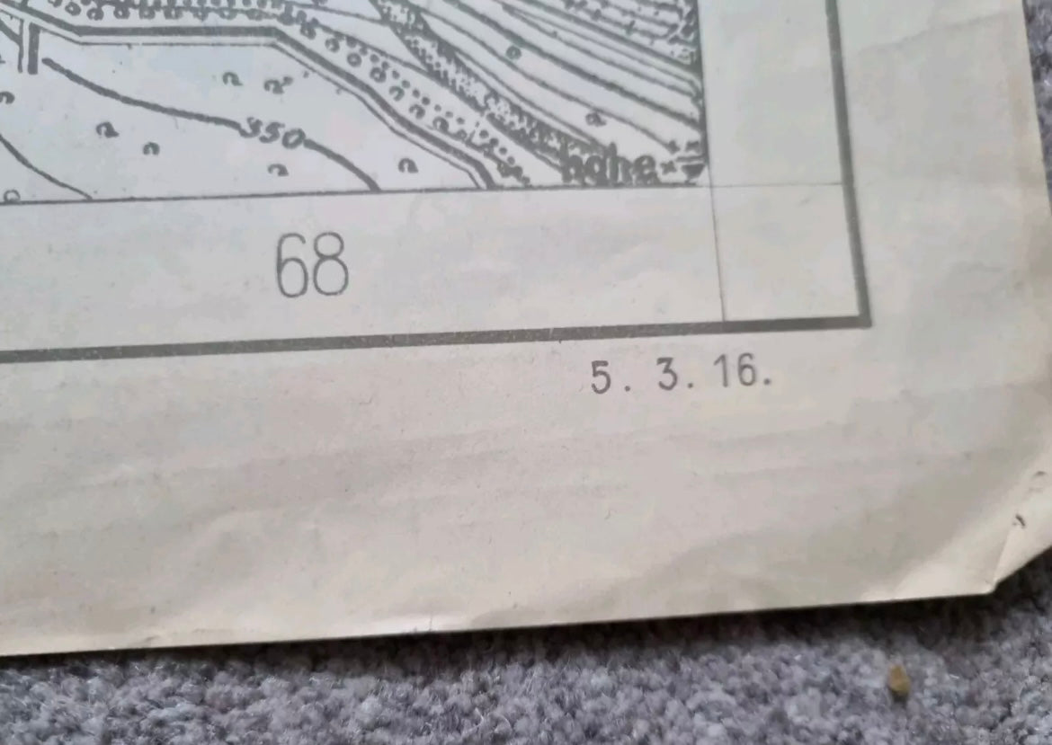
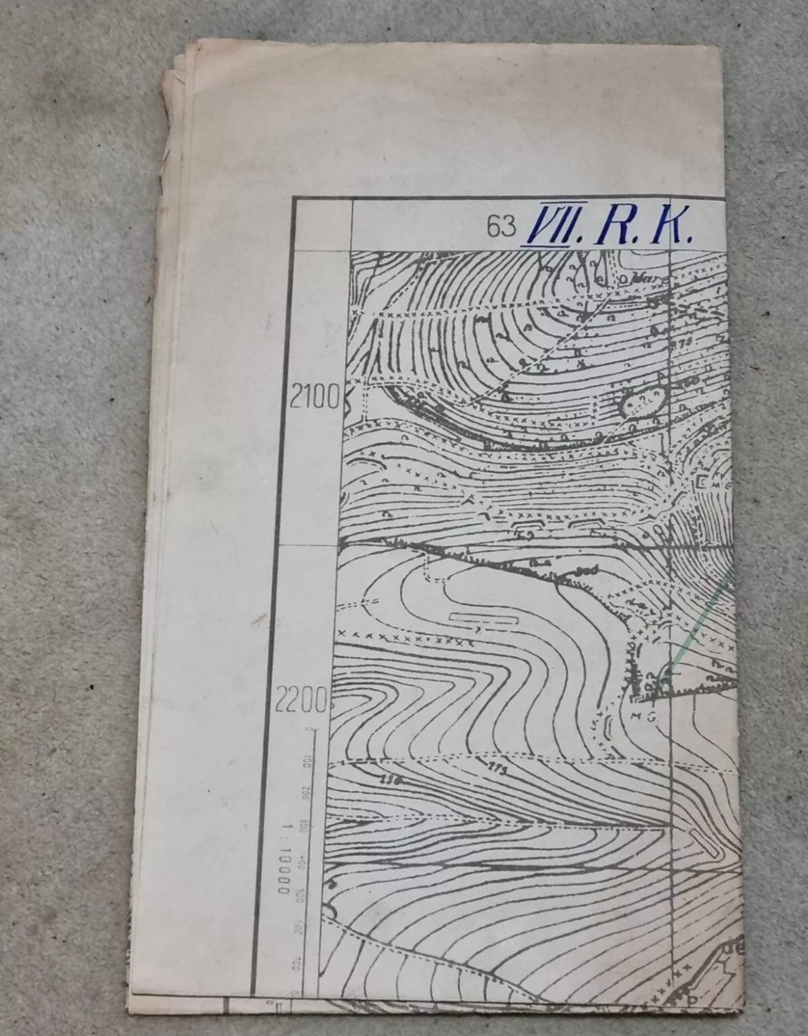
Unique WW1 German trench map, with incredible detail surrounding Verdun (Douaumont Sud), dated 5th Mar 1916.
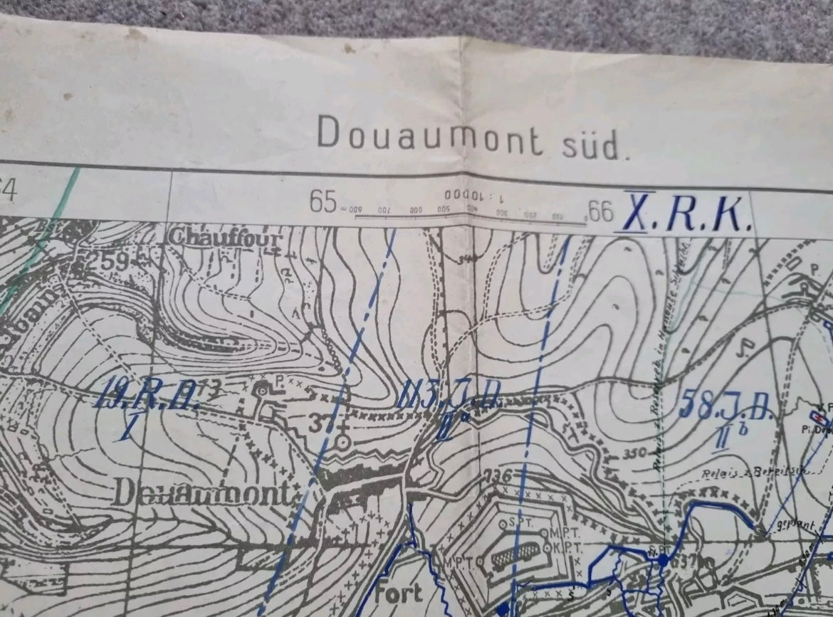
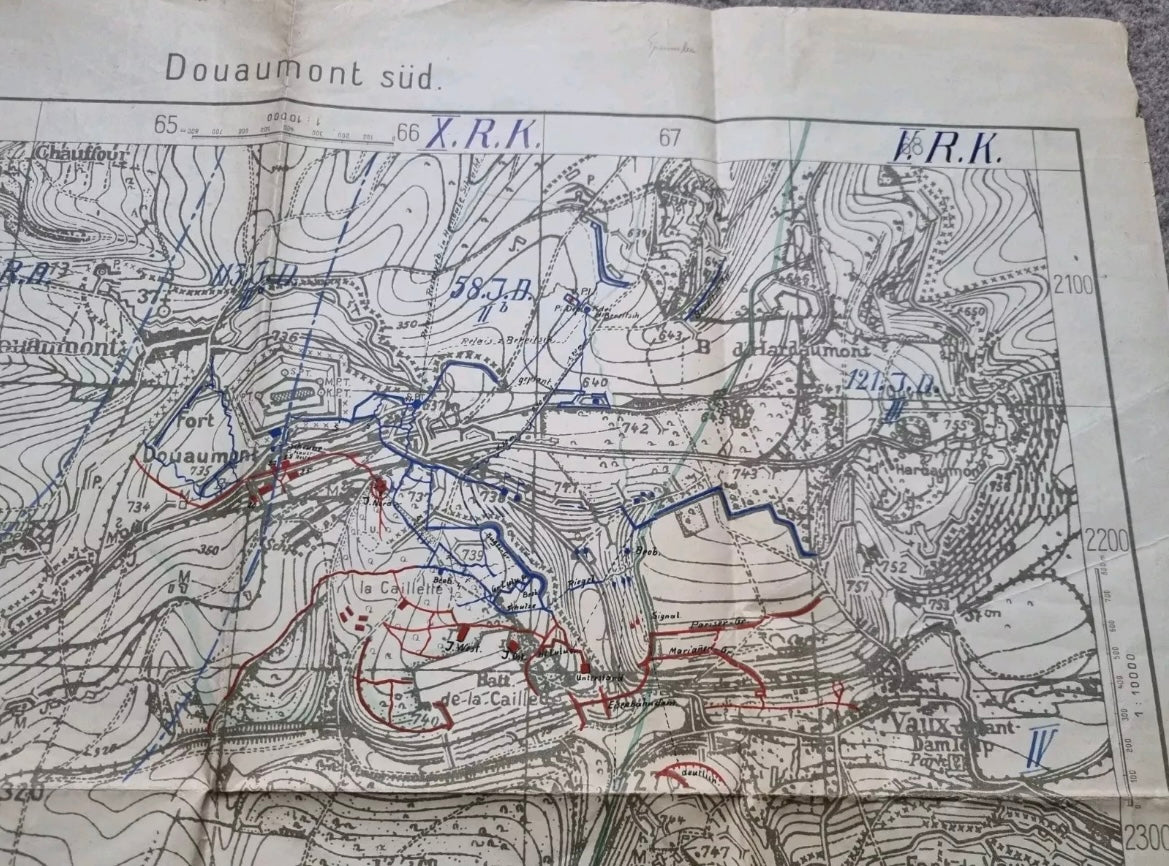
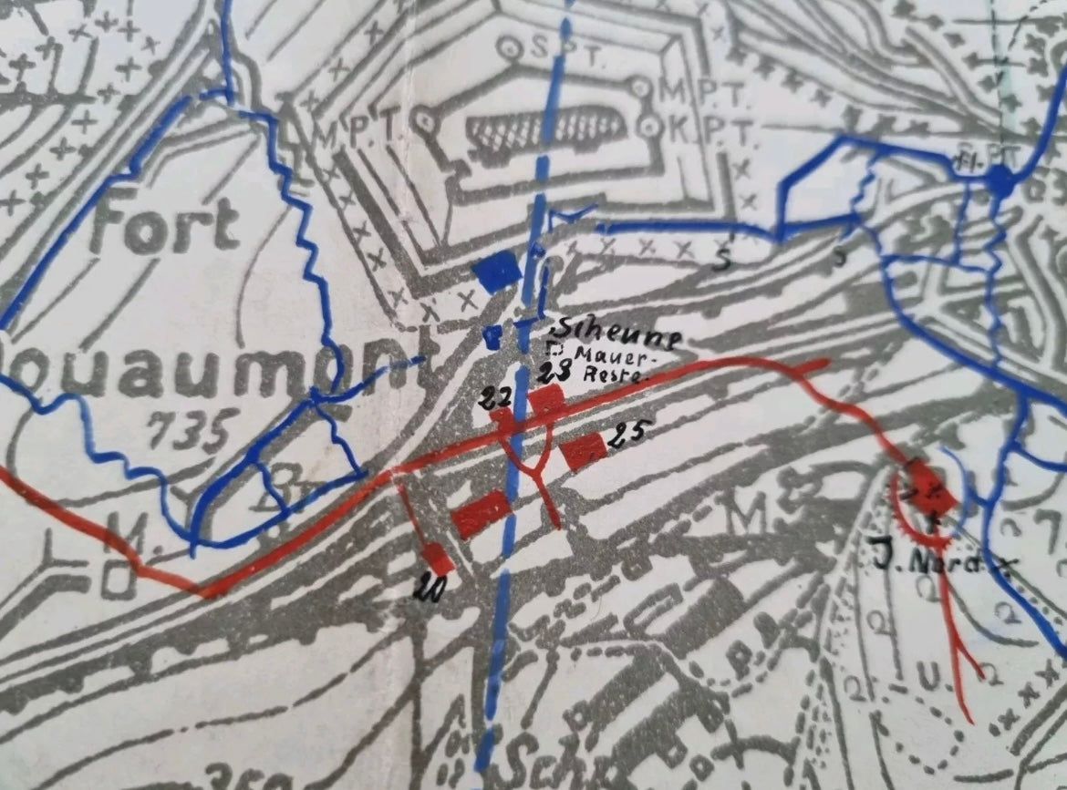
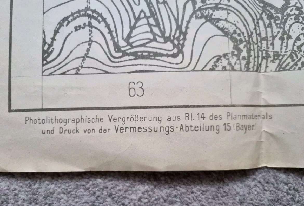
This is a German produced map with an amazing amount of detail centred around Fort Douaumont just north east of Verdun.
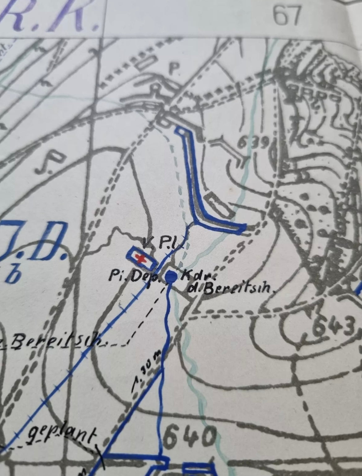
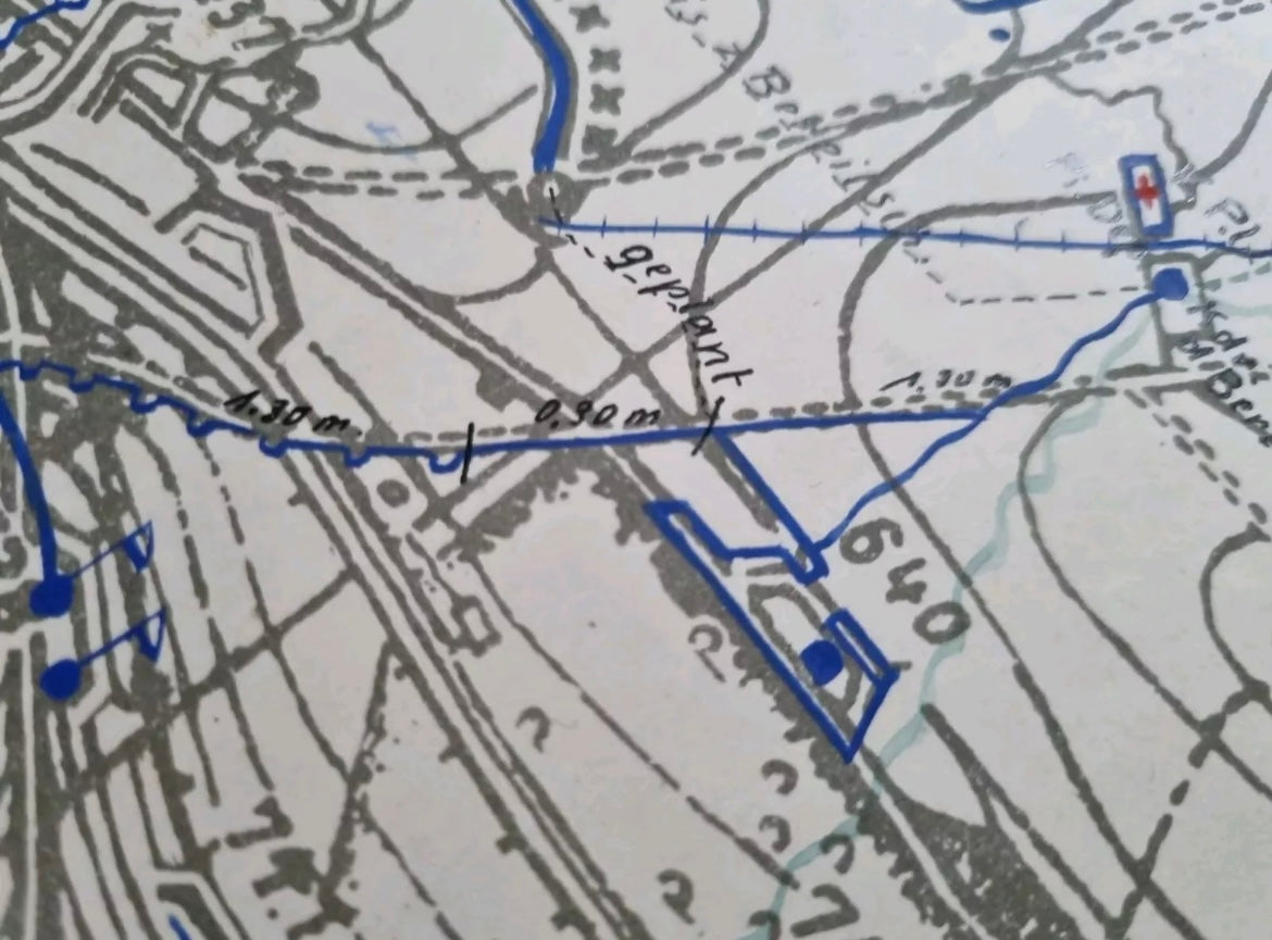
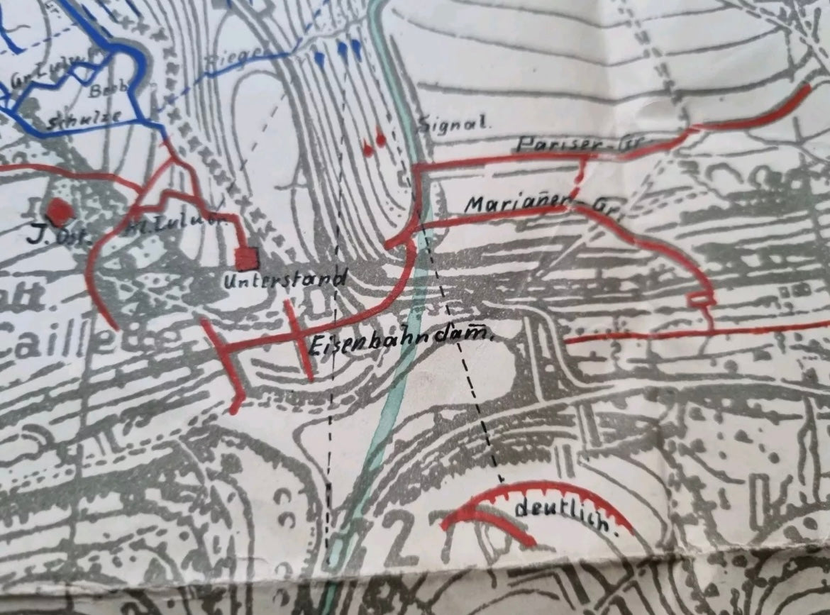
There are some very fine details drawn onto the map in blue and red and black which are raised to the touch rather than printed.
German positions marked in blue including regiment details for each sector.
The map measures 70 x 62 cm
The paper shows appropriate ageing
Share
